
Feature your business, services, products, events & news. Submit Website.
Breaking Top Featured Content:
Metro sees wide variety in rain totals-How much did you get?
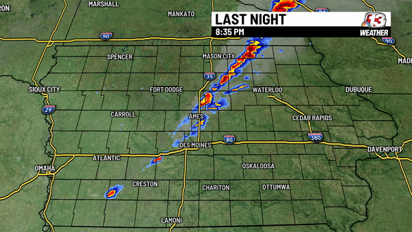
Storms developed across central Iowa as warm and moist air was met with our cold front, however, there was little movement in that front which resulted in a large difference in rain totals across the metro.
Rain amounts
0.80″ Des Moines (NE 14th & Aurora)
0.75″ Bondurant
0.65″ Waukee (Hickman & 156th)
0.62″ Johnston (NW 70th Ave & NW 100th)
0.56″ Des Moines (Lower Beaver Rd & Twana)
0.55″ Clive (NW 167th & Meredith)
0.53″ Windsor Heights (63rd & University)
0.49″ Des Moines (Near Glendale Cemetery)
0.47″ Waukee (Ashworth & Warrior Ln)
0.46″ Waukee (NW 174th & Douglas)
0.44″ Des Moines (Merle Hay & Urbandale)
0.34″ Ankeny (near NE Elementary)
0.27″ Urbandale (86th & I-80/35)
0.24″ Altoona
0.24″ West Des Moines (60th & Wistful Vista)
0.20″ Earlham
0.19″ Eldora
0.12″ Dallas Center
0.10″ NWS Des Moines
0.09″ Marshalltown
0.08″ Bagley
0.04″ Norwalk
0.03″ Iowa Falls
0.03″ Adel
0.03″ Ames (E 8th St & Duff)
Trace Des Moines Airport
CoCoRaHS map of reports
Most of these reports came from the Community Collaborative Rain, Hail, and Snow Network (CoCoRaHS) which uses reports in many different ways.

More storms are possible late this week. You can find the latest forecast here.
Continue Reading at WHO13.com here