Feature your business, services, products, events & news. Submit Website.
Breaking Top Featured Content:
Snow potential dwindles for central Iowa

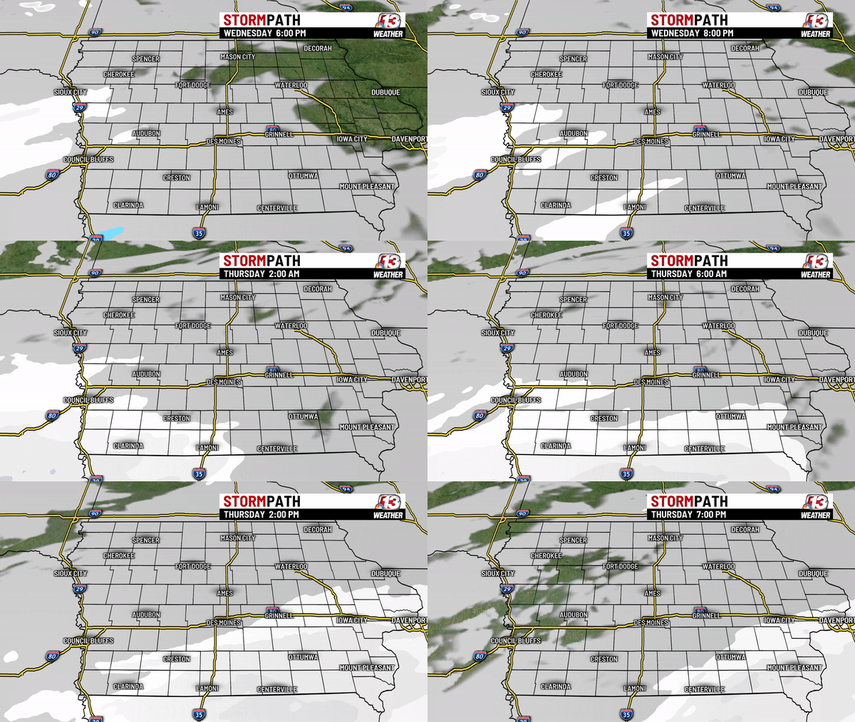
IOWA — A weather system moving into the Central US is taking a further south track, which will help Iowa avoid much of the heavier snow the next 24 to 36 hours. A Winter Storm Warning has been issued for parts of Kansas and Missouri from Wednesday through Thursday, with a Winter Weather Advisory in place for the southern two tiers of counties for Iowa during much of the same time frame.
Snow begins today across Nebraska & Kansas as a weak low forms over the Central Plains States. Moisture starts to stream in to those states with high pressure building south from the Northern Plains. This high will bring colder air across Iowa, but will also push the precipitation to the south across our neighbors.

The snow will start off light as some flurries to light snow showers in southwest Iowa and then will move east through the night into early Thursday.
1 to 3″ is possible in the southern two tiers of counties from 6 PM Wednesday through 6 PM Thursday.

For the latest forecast, click here.
Continue Reading at WHO13.com here

