Search Featured Websites:
Feature your business, services, products, events & news. Submit Website.
Breaking Top Featured Content:
Feature your business, services, products, events & news. Submit Website.
Breaking Top Featured Content:
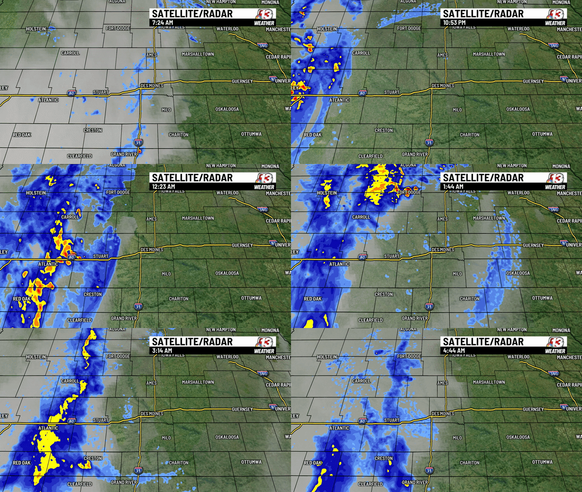
Overnight outflow causes strong early morning wind

Thunderstorms rumbling in western Iowa late Thursday night and early Friday morning caused a strong gust front to blow through Central Iowa between 12:30 AM and 2 AM Friday. This outflow boundary, as it’s called, can be seen on the radar as a line of what looks like light rain, but it’s actually the wind being detected on the radar. An outflow boundary is a gust of cold sinking wind that blows out from a strong thunderstorm.
See the radar loop here:
Here is a look at some of the max wind gusts overnight from that outflow boundary.

- Des Moines 53 mph
- Perry 52 mph
- Ankeny 51 mph
- Ames 46 mph
- Boone 40 mph
- Marshalltown 39 mph
- Newton 38 mph
- Earlham 37 mph
- Knoxville 33 mph
- Pella 20 mph
Continue Reading at WHO13.com here


