

Weather Tools
Search Featured Websites:
Feature your business, services, products, events & news. Submit Website.
Breaking Top Featured Content:
Feature your business, services, products, events & news. Submit Website.
Breaking Top Featured Content:
Isolated severe storm chances in Iowa Wednesday night
The extreme heat and humidity is not the only headline the next few days in Iowa. Each day, a small section of the state will have the potential for a severe storm or two, but it is all very conditional.
-

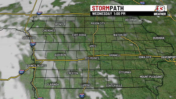
Wednesday Afternoon -Evening -

Thursday -

Friday
DAY 1: Today/Tonight
A wave of energy lifting up out of the panhandle region will lift towards Nebraska, South Dakota and Northwest Iowa today. That with a warm front will hit a warm humid air mass in western Iowa, leading to the development of some individual cells. These will combine into a complex of storms that will lift through far northwest Iowa late day and evening. The biggest threat in counties on the northwest edge of Central Iowa will be large hail and damaging winds.
There is a tornado threat, but the base of storms looks to remain high in Iowa which will make tornado formation more difficult in our viewing area. Closer to the warm front boundary lifting into South Dakota and Minnesota, tornadoes will be more likely.
The storms look to stay west and northwest of the Des Moines Metro and much of Central Iowa.
DAY 2: Thursday
Thursday will be another hot and humid day in Iowa. A deepening surface low over the Rockies and Plains states will continue to push into the Upper Midwest, keeping the risk of storms over northwestern Iowa. An overnight complex of storms may bring some remnant of storms into that section of the state on Thursday, leaving outflow boundaries that could be the focusing mechanism for more storms late in the day Thursday and Thursday night. With temperatures in the 90s and dewpoints in the 60s, there is still a lot of instability in our atmosphere.
A cold front will start to push into western Iowa but the main shear to spin up tornadoes will be further northwest into South Dakota and the Northern Plains.
DAY 3: Friday
The cold front will be crossing Iowa on Friday. There may be some lingering morning convection but the next time and place for storms to fire will be in Eastern Iowa during the afternoon. Most of the stronger dynamics will have lifted well north into Canada, but there may be some weak shear remaining that could flare up a few individual cells ahead of the front that could have a hail and wind risk Friday afternoon and evening on the east side of the state.
Continue Reading at WHO13.com here